Beausoleil Island, Georgian Bay Islands National Park · Sept 17, 10:08 pm
After 4 days on Beausoleil Island, 15 hours and 40 km of cycling and hiking, I have acquired over 800 photos documenting quite an experience! And I am thinking there will be lots of colours to explore and add to the mix in creating this next series. It was so hard to break down which ones I would put on this blog, so sorry, there are so many! And so many more in the photo album!
Claustro was one of 6 artists chosen to participate in their new Artist in Residency Program that the Georgian Bay Islands National Park has put in place.
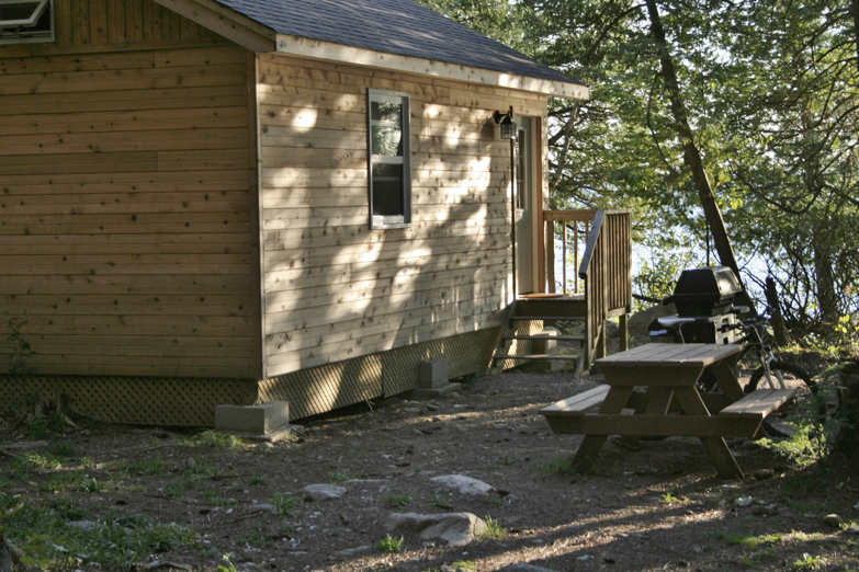
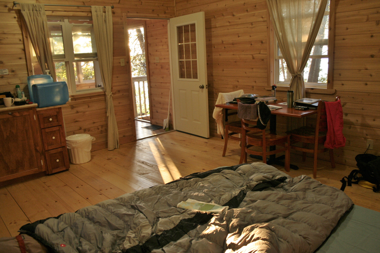
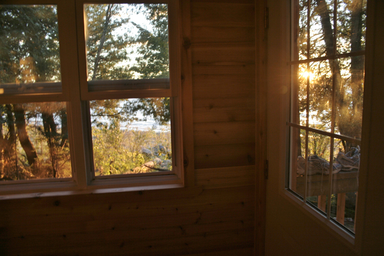
As artists, we stayed in one of their new 2-person solar powered cabins, equipped with barbeque, dining table, queen bed, porch with couch for sunset viewing, at the West side of the Park (Christian Beach) where there are 4 cabins along with a very nice composting toilet. The object of the Artist Program is to document your experience as it is relevant to your art, and to engage with public meet and greets. In the future as the program develops, there may also be opportunity to run artist workshops.
For us, since adventuring is far more of interest than staying in-situ and creating en plein air work, from the first day of arrival, I headed out the door on my rent-a-bike (nice front suspension Norco) supplied by the Park (a must rental if you are staying on the Island for any length of time), to explore north along the West Shore up to Brebeuf Light Tower (which looks across to the Brebeuf Lighthouse).
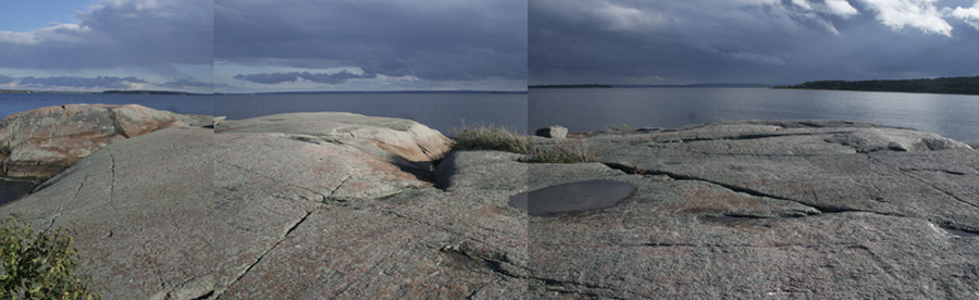
Each day was a great adventure seeing every part (from west, to northeast, to southeast to northwest) of the Island that was possible in 4 days … and to take as many photos to document the amazing variation of geology and landscape the Island had to offer … plus learn about the historical background … all very astounding for my first time really exploring the Island. Other than visiting the Island by boat on two occasions to Honeymoon Bay … I have to say, to take the time to explore the entire Island by foot/pedal gives you a whole new appreciation of what this place has to offer! What diversity!
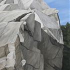
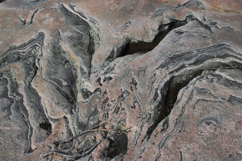
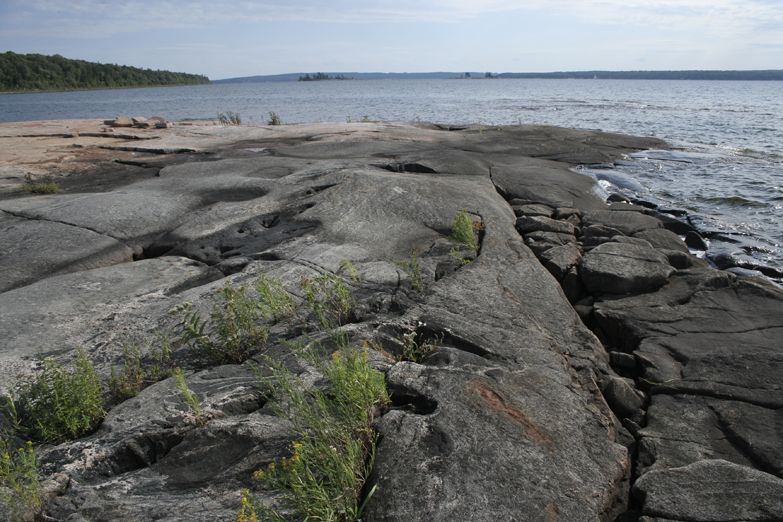
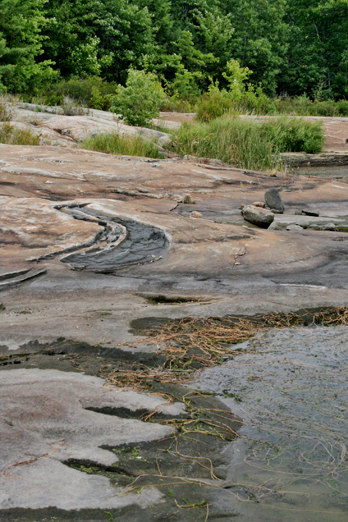
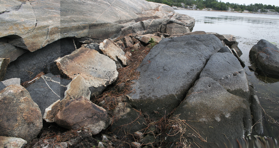
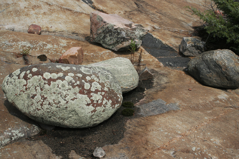
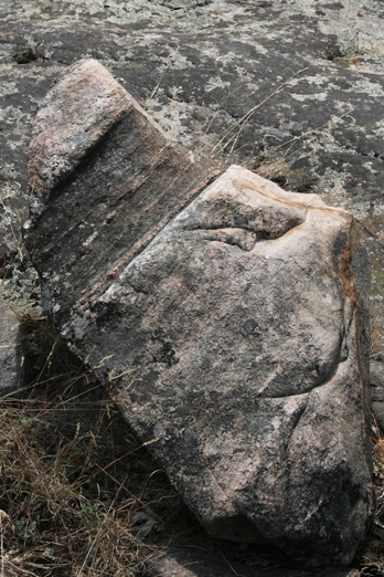
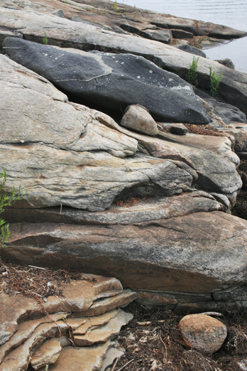
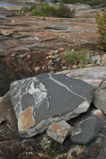
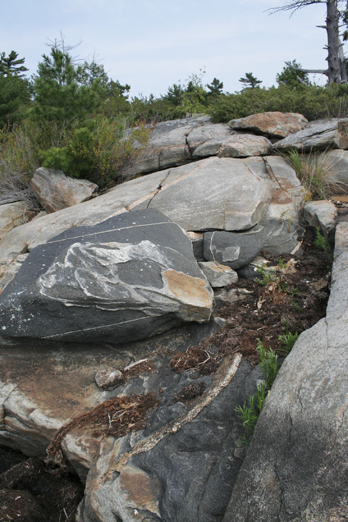
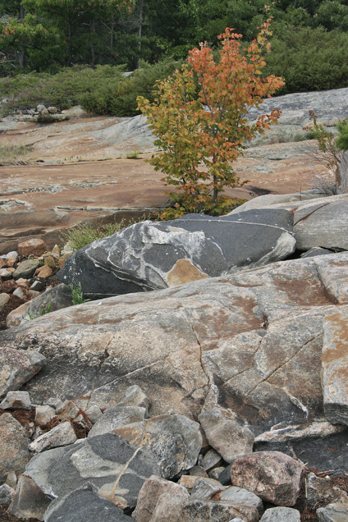
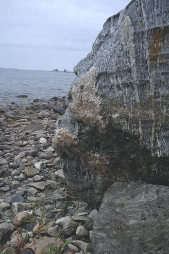
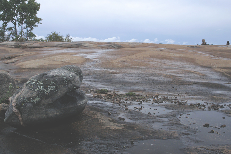
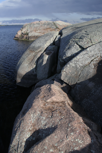
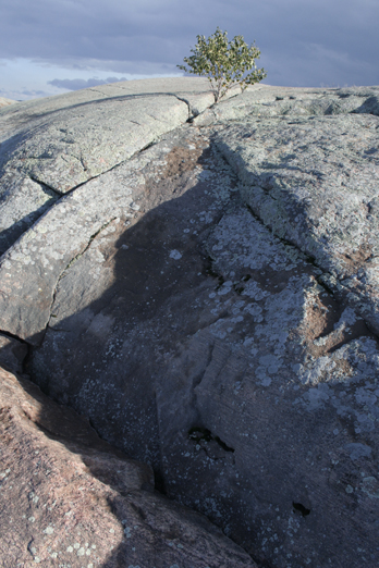
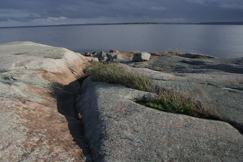
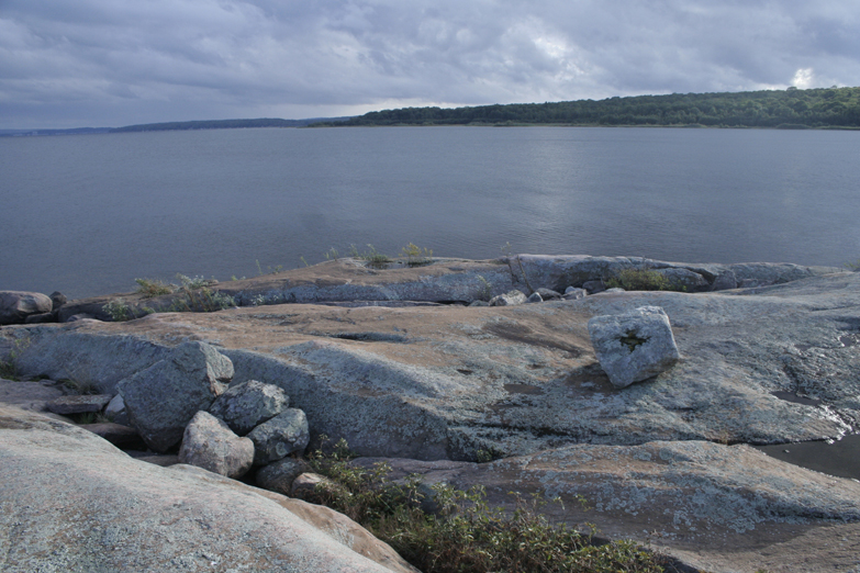
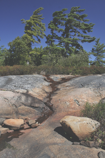
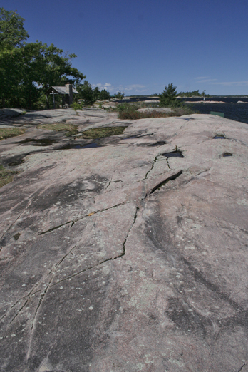
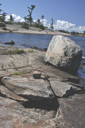
The specific geology of much of the Island is known as gneiss, a combination of pink feldspar, black biotite and white quartzite. I am just starting to learn about this geology so won’t begin to try to describe it scientifically, but it appears as if there are two layers of rock – on the surface is this nice pinky brown smooth feldspar, and just below the surface in mere inches is a beautiful, crystalized black rock, which is seen in different ways .. sometimes as black veining and swirling, mixed in layers with the feldspar, and sometimes like open holes, as if the feldspar was scooped away with a big spoon when the rock was hot and liquified … the transition is sometimes beautiful and smooth, and other times gutteral and destructive.
This happens on the north west, and the north east side of the Island (near Brebeuf on the West, and Chimney Bay on the East). IN between is a 60’ tall thick hemlock forest. But then, you explore 4 km south from Chimney Bay, and there it is again at Finger Point.
I could have easily spent an entire week and still not have been bored!
So quiet … and astounding … which I look forward to documenting in my next series of works.
If you are interested specifically in any of these photos, feel free to contact me at claustro@claustro.ca to explore the possibility of commissioning a painting based on the photo … and remember, there are 700 more photos in my collection. Commissions are done by viewing a series of similar reference photos, creating a sketch to consider composition, and then presto, the painting is completed. Go to the link to read more Commission Process on our website.
Click thumbnail to enlarge each image
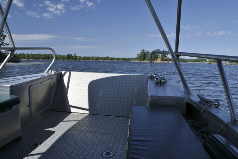
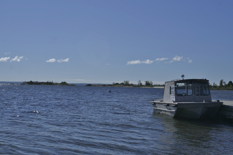
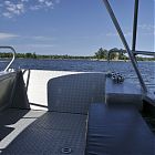 And off we go on the Daytripper!
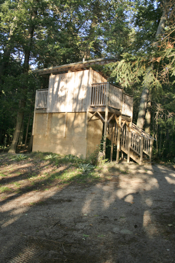
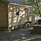 The Cabin, Christian Beach.
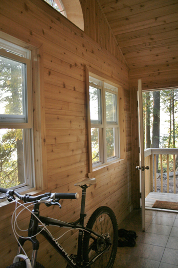
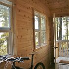 Porch of the Cabin with rent-a-bike ... norco!
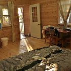 Unpacked and ready to go explore! Sweet cabin!
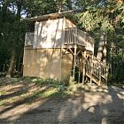 A very clean composting outdoor toilet.
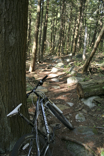
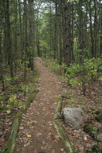
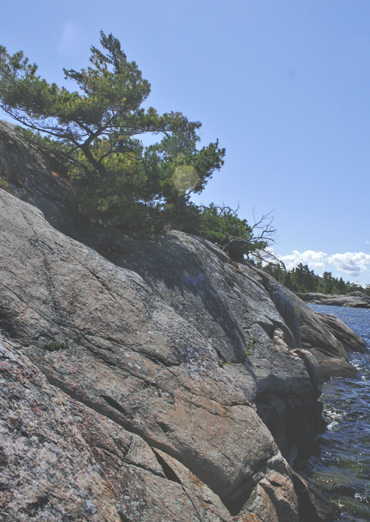
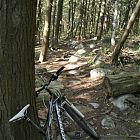 A highly technical terrain for mountain bouldering - had to walk the bike along the west shore trail.
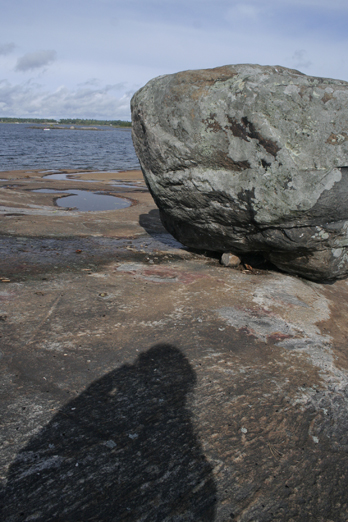
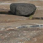 At the Brebeuf Light Tower, very interesting erratic deposits.
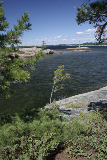
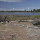 Looking north to the Light Tower (far right).
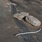 Black veins were prevelant in the whole region.
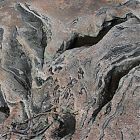 Pink and black veining.
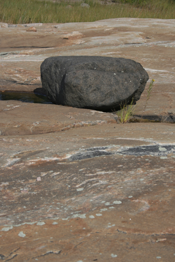
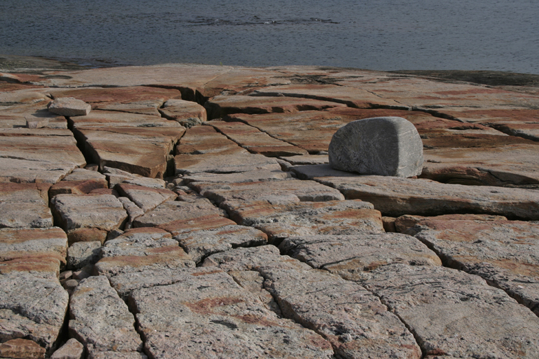
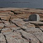 Very cool erratic with heavy cracking.
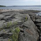 Looking south towards Gin Islands, varying rock tones ...
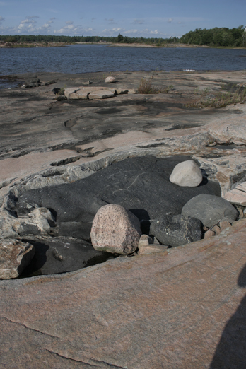
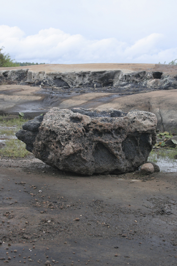
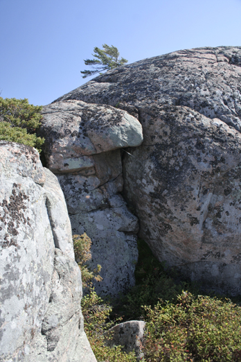
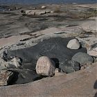 The core of the rock exposed - black deposits.
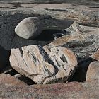 Another view of the 'black hole' of rock, with white and pink erratics.
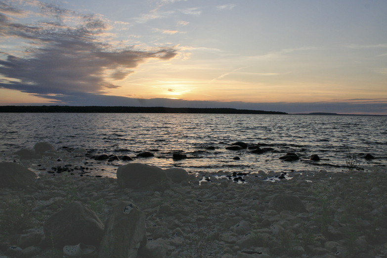
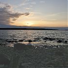 First night sunset looking towards Sawlog Bay and Giant's Tomb.
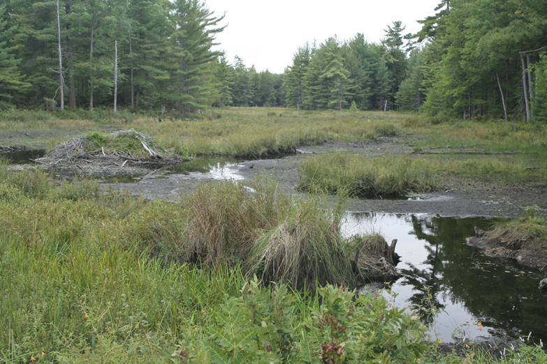
 Day 2 - not so sunny - headed to Chimney Bay - beautiful marsh along the way.
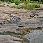 There's that black veining again - on the other side of the Island.
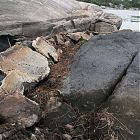 Up close view of the black vs. dolomite rock. Amazing!
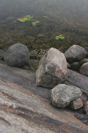
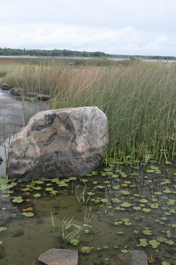
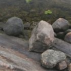 Lily pads and erratics in Chimney Bay.
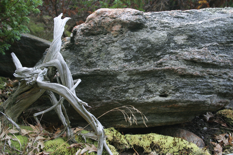
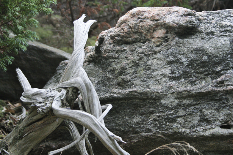
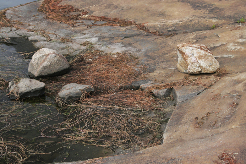
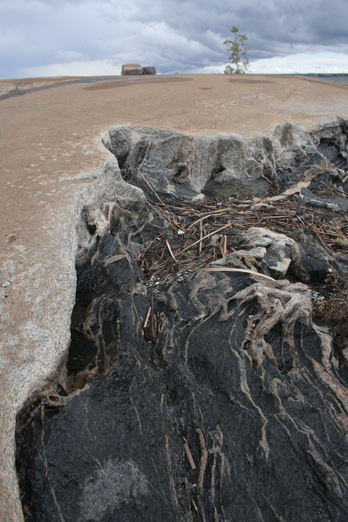
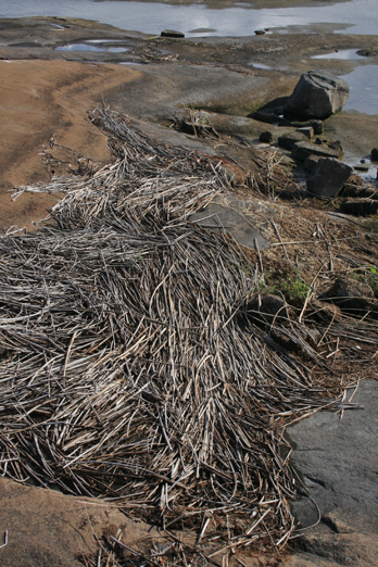
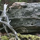 These beautiful juniper roots were all over - reaching everywhere across rocks.
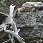 Juniper driftwood.
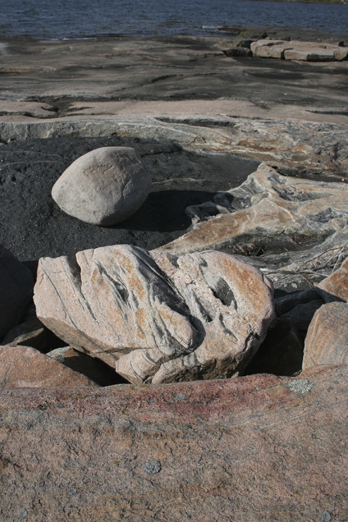
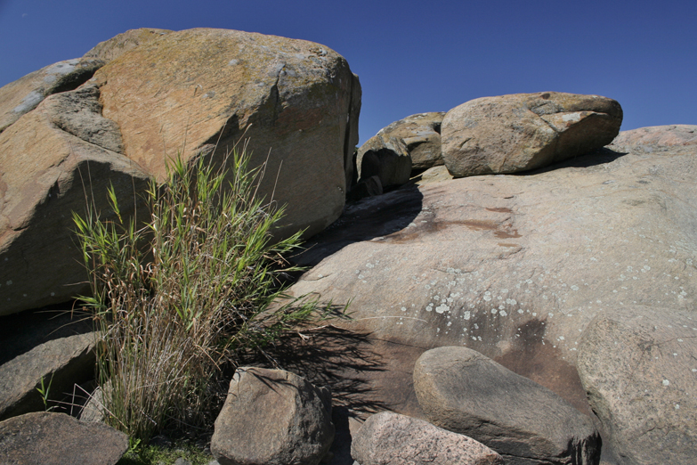
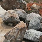 Very cool colourful erratics with red grasses - fall colours are coming!
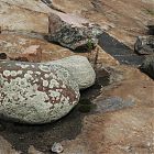 This erratic on the left looked like a giant dinosaur egg.
 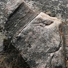 And this erratic looked like a profile of a man with a chef's hat on.
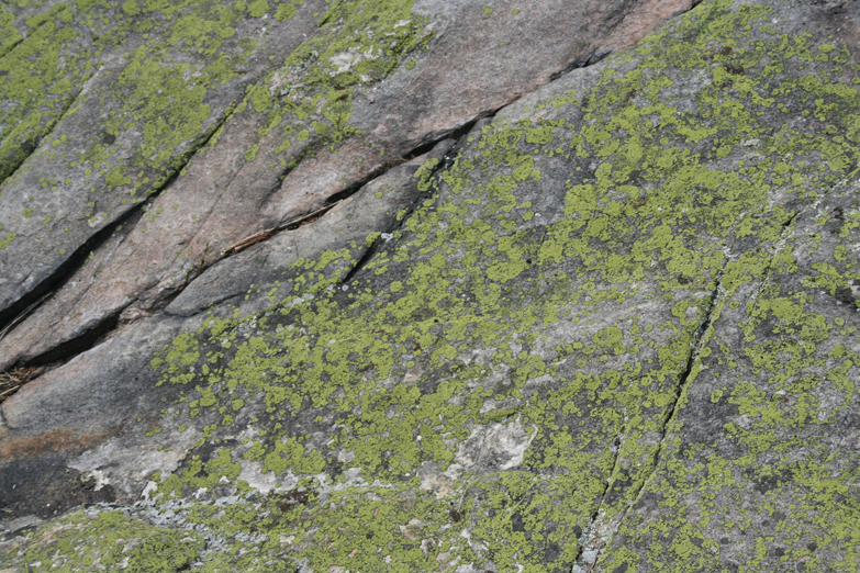
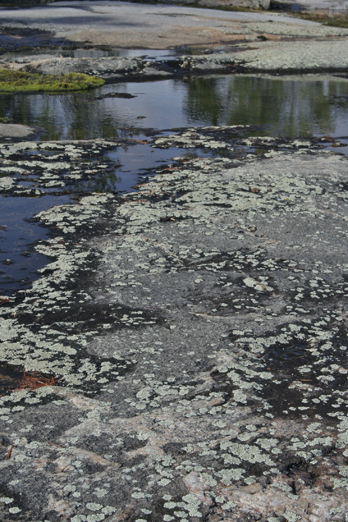
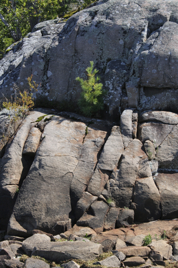
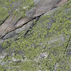 Gorgeous bright green lichen.
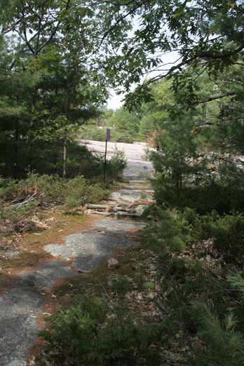
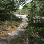 Very nice walking trails! Only 6km to go!
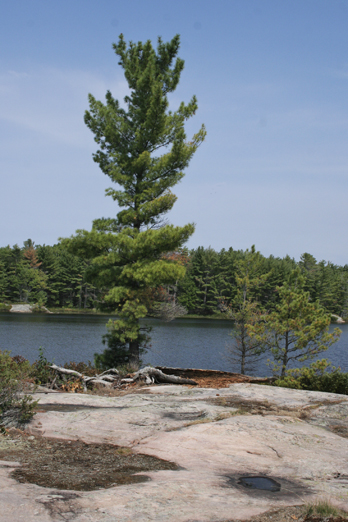
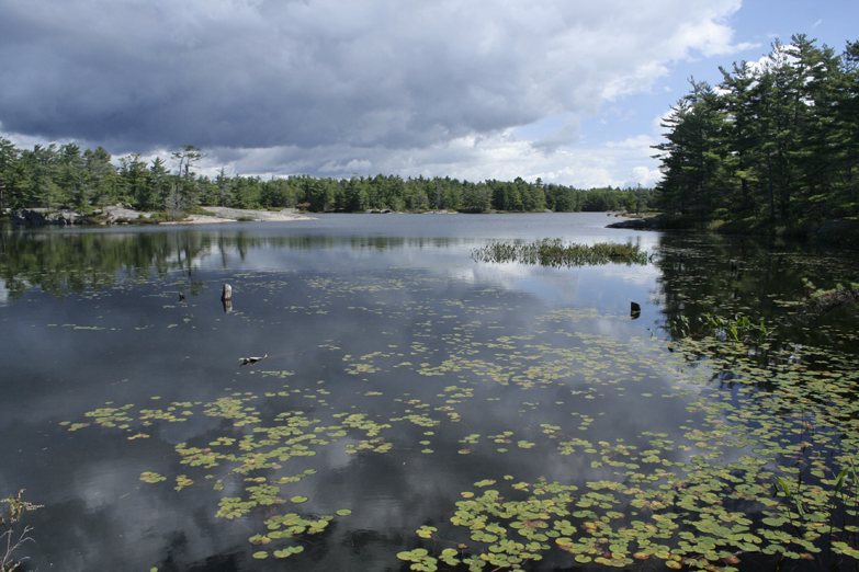
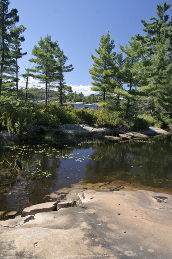
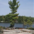 South view of Fairy Lake. This was one huge tree!
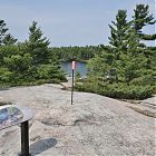 Top view of Fairy Lake - looking north, and when I turn around, you see Georgian Bay.
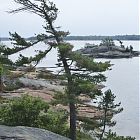 This was the view of Chimney Bay just after taking the photo of Fairy Lake.
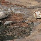 Yes, I can see some new colours entering my palette!
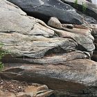 Black Erratic amongst the feldspar along shores of Chimney Bay.
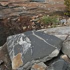 So cool!
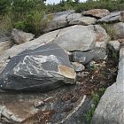 I can imagine what this would look like at sunset. The variance of colours was outstanding.
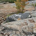 First vivid sign of Fall.
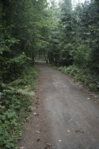
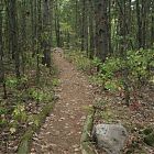 Another well groomed trail ... heading back to Huron Trail to get back to the cabin before the storm comes.
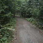 And 8km later, I arrive at my road to the cabin - great bike ride!
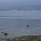 Got back to cabin just in time for the storm and watched it pass over Giant's Tomb.
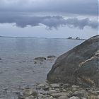 Calm after the storm - Gin Islands in near distance ... second sunset.
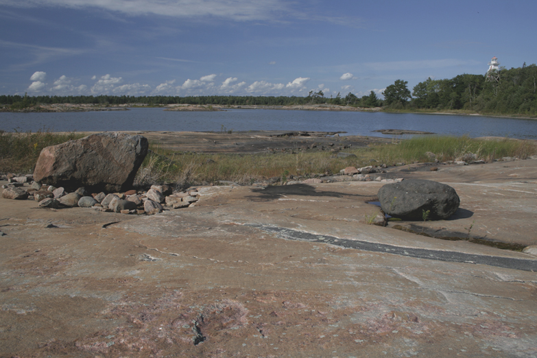
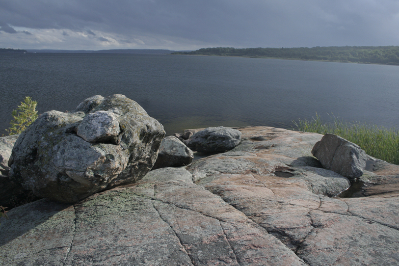
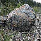 Severed rock puzzle in front of the my cabin on Christian Beach.
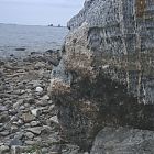 Storm clearing - ready to eat - 200 photos later, and I am done for the day. This erratic on my beach looked like a guardian.
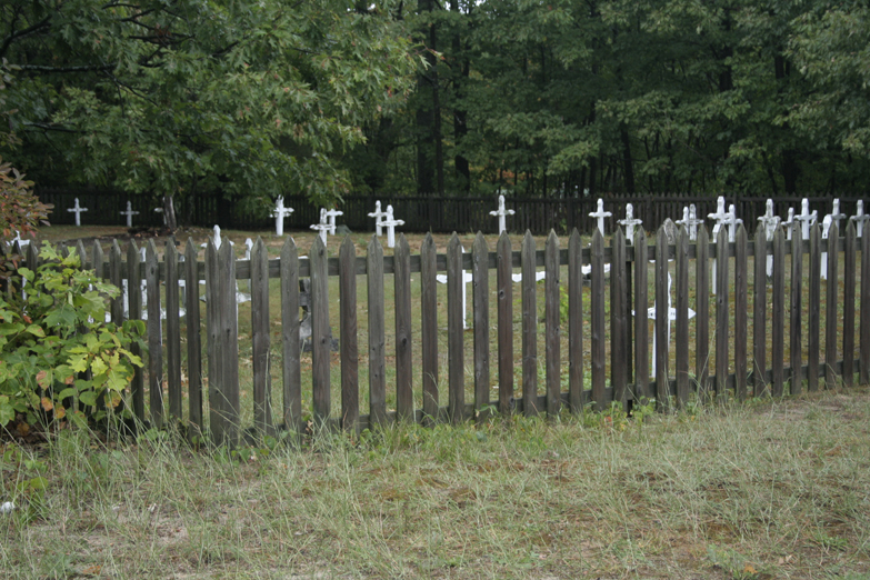
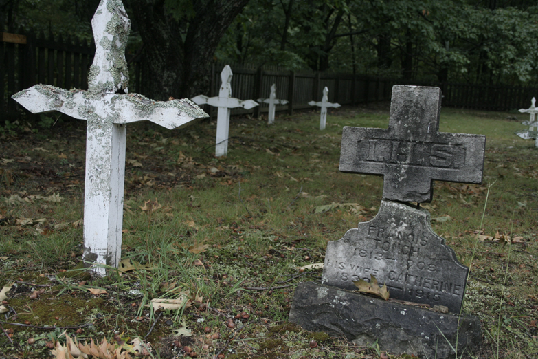
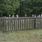 The 1800's cemetary of arund 40 Aboriginal Beausoleil First Nations people who died while living on the Island. A plaque beside the cemetary lists everyone's name.
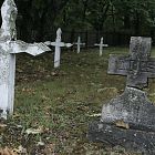 Surrounded by oak forest, a place rich with history.
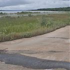 Just around the corner from the cemetary, is the southeast side of the Island ... beautiful marshy region.
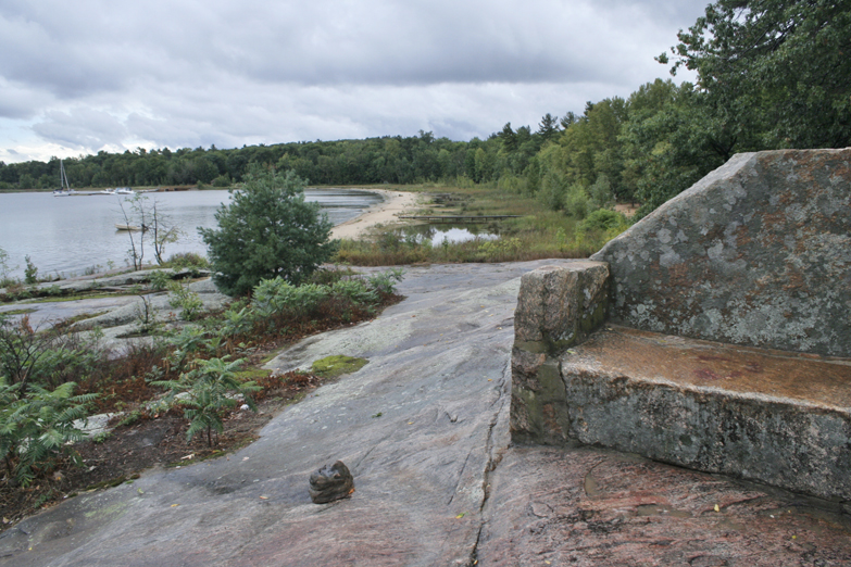
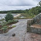 After the meet and greet at Cedar Springs (and the downpour), I headed to the rock chair overlooking Cedar Springs beach.
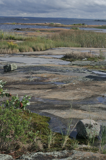
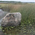 Again, this side of the Island is rich with marshes.
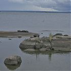 Looking East from Finger Point.
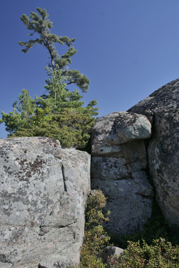
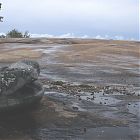 I call this, Laughing Rock. Finger Point.
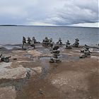 If intended as directional inukshuks, this may be rather confusing .. haha.
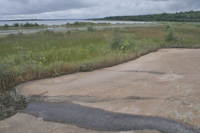
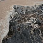 And here it is again, now at Finger Point, (east side) ... this time it appeared as if the pink feldspar had thrown up its insides of black rock.
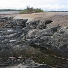 Another photo of the same rock - very gutteral - never seen anything like that - took about 30 photos!
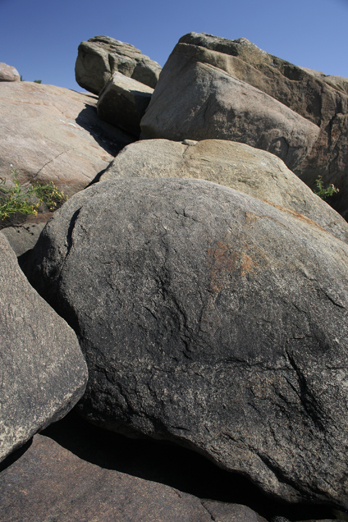
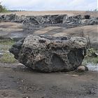 A big erratic of the mix of rock - mainly the biotite ... showing both types in the background of that gutteral shelf.
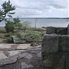 On the way to Thumb Point, I have to go by the Rock Chair again as the sun pokes out.
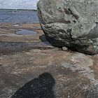 At Thumb Point now .. more erratics ... looking East.
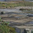 Looking Southeast from Thumb Point .. love the variety between rocks, grasses and lichens.
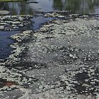 Speaking of lichen! Pooling of rainwater over lichen covered rock.
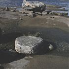 From lichens, to barren rocks and erratics - looking north from Thumb's Point.
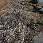 Yes, great new palette to capture this beautiful shoreline.
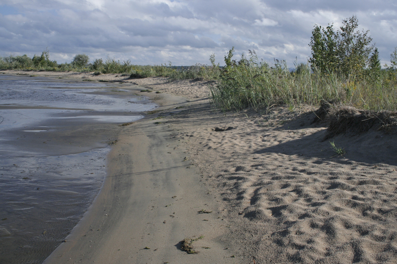
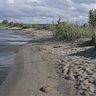 After Thumb's Point, I cycled south to a group of Islands just south of Cedar Springs ... along the way is this sprit of beach...and the sun is coming out.
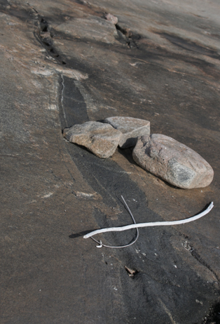
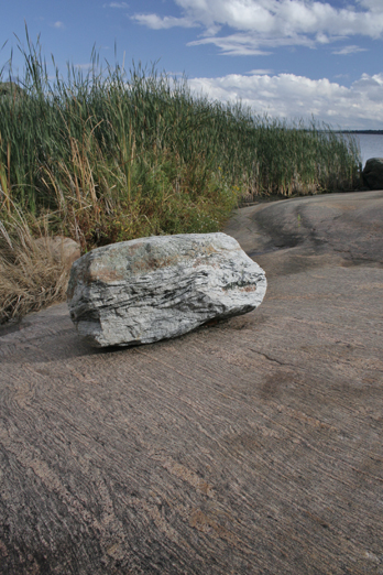
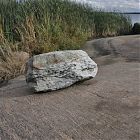 White Quartzite erratic in the middle of pink feldspar!
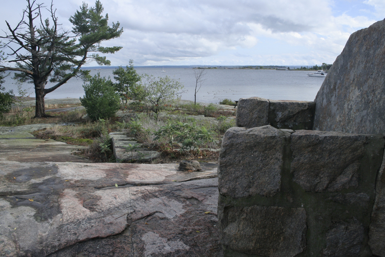
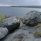 Looking south at Midland's, Tiffin by the Bay from the Ogitchidawkwe Naaniibwe Islands.
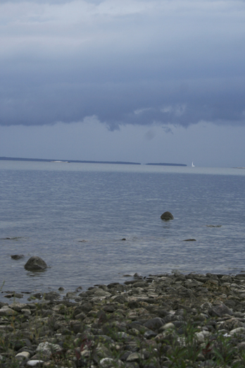
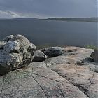 Same place looking at Tiffin ... sun came out!
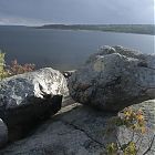 Sun came out even more! Amazing colours!
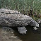 I call this resting rock.
 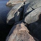 Sun setting on the Ogitchidawkwe Islands! I have over 50 photos from this shoot!
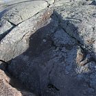 Surviving little tree on this very exposed island. And is the shadow a dog or is it just me?
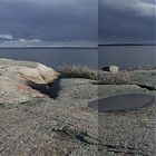 Again, this is the panoramic view looking at Tiffin way off in the distance! Just when I thought I was in the wilderness, and there it was! haha.
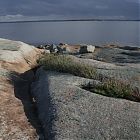 View to Tiffin ... amazing split in the geology.
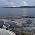 Beautiful tones in the rock.
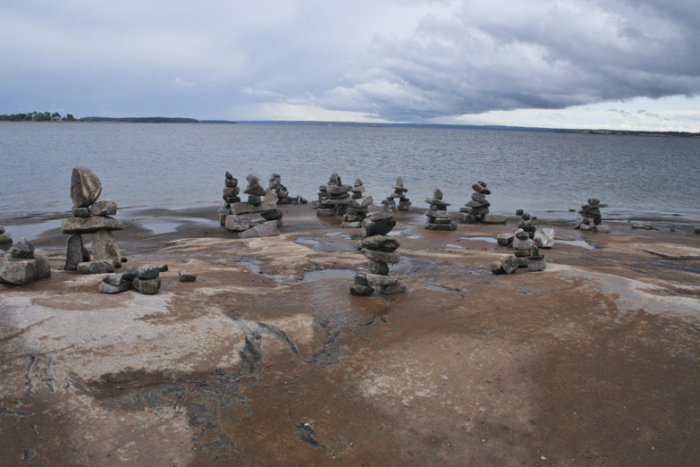
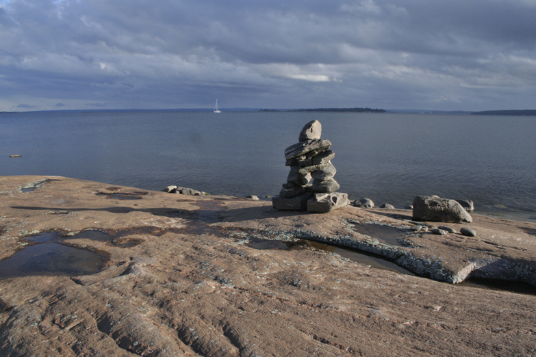
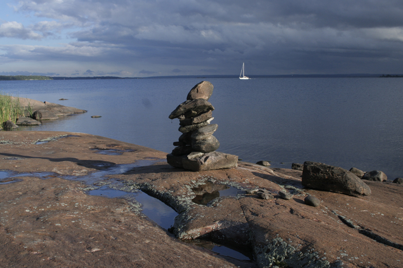
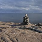 Inukshuk on Ogitchidawkwe Island - looking south to Midland.
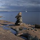 Inukshuk & Sailboat.
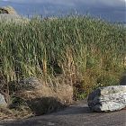 Quite the variety of landscape.
 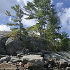 My final day at Beausoleil - started off raining, and now look as I head up trail to Honeymoon Bay.
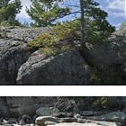 This would make a very cool diptych!
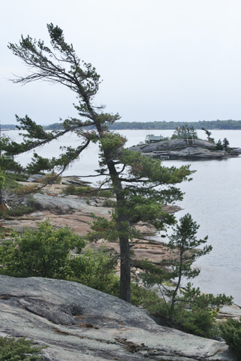
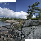 Rocky Shores of Long Bay, northeast side of Beausoleil.
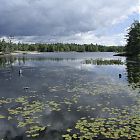 Heading north from Long Bay along Rockview Trail, this is the East side of Fairy Lake (interior Lake at north end of park).
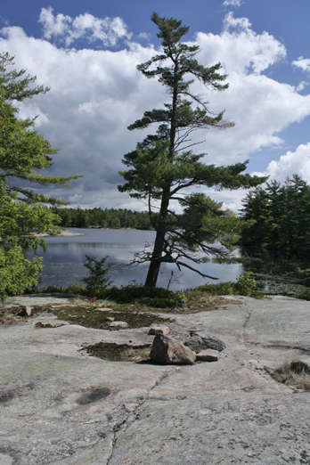
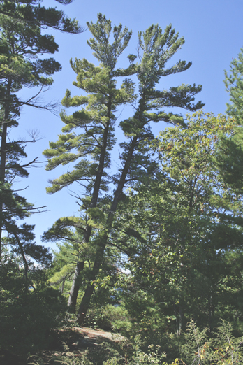
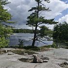 Tall pine of Fairy Lake.
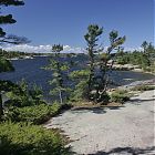 Looking towards Goblin Bay (northwest side of Beausoleil at Georgian Bay).
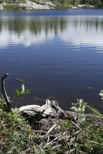
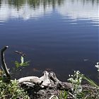 Beaver Dam at Goblin Lake.
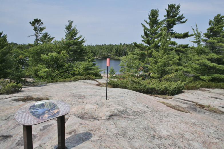
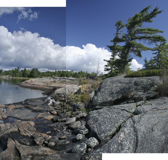
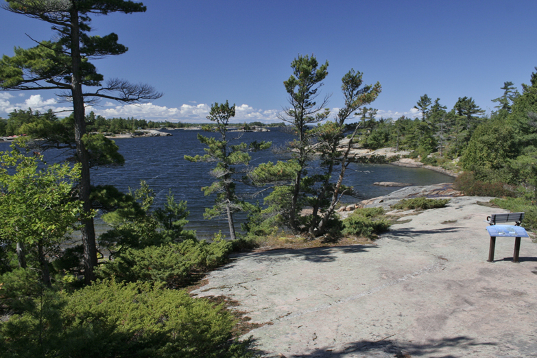
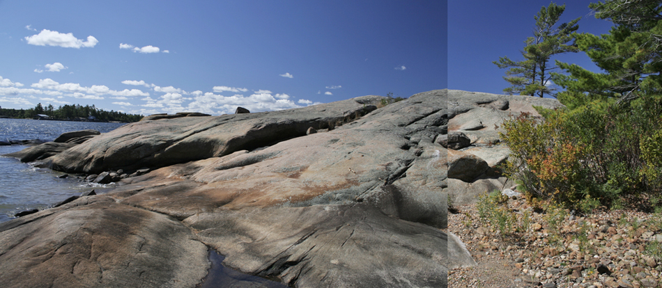
 Panoramic and potential triptych view of Goblin Bay. Gorgeous view and only a 10 minute walk south of Honeymoon Bay.
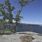 Three tall weathering pines of Goblin Bay.
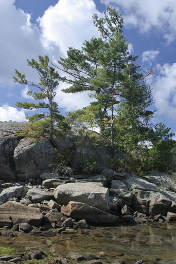
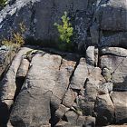 Surviving little pine in diverse geology.
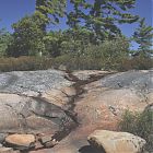 Goblin Bay trees.
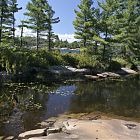 This is a view from Goblin Lake to Goblin Bay (water through trees) Georgian Bay.
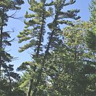 Huge 60 foot Pines at Goblin Bay.
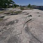 Dock at Honeymoon Bay.
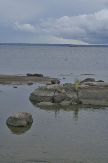
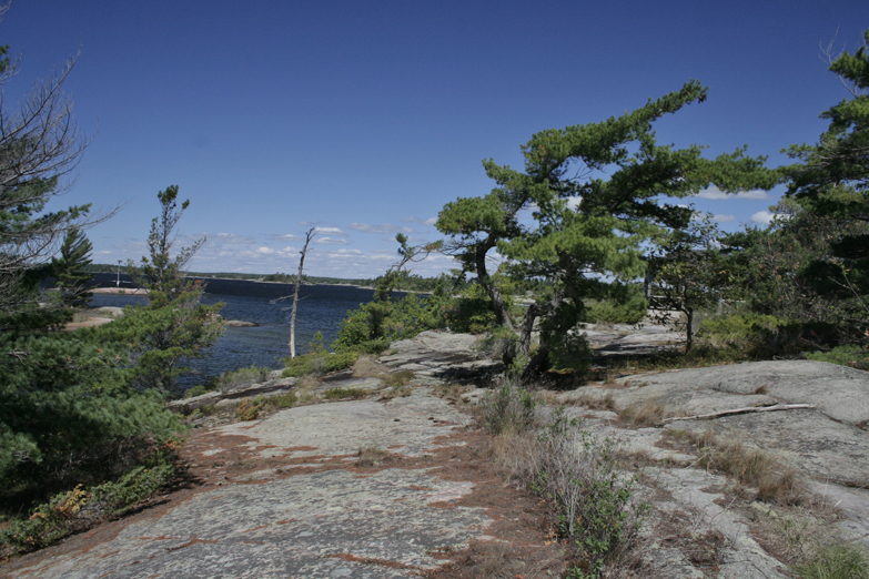
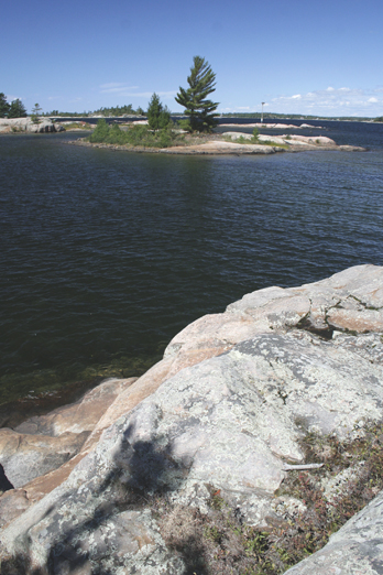
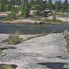 Islands across from Honeymoon Bay.
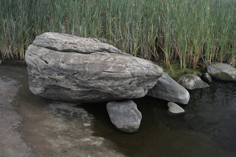
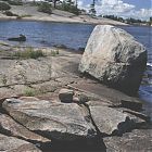 Erratics at Honeymoon Bay.
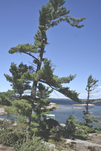
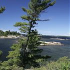 Lush Leaning Pine, Honeymoon Bay.
 More weathered Pine, Honeymoon Bay.
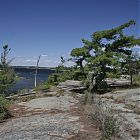 View to north from Honeymoon Bay.
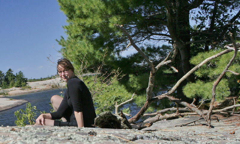
 Carol at Honeymoon Bay.
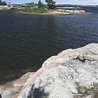 Typical tree on island north of Honeymoon Bay.
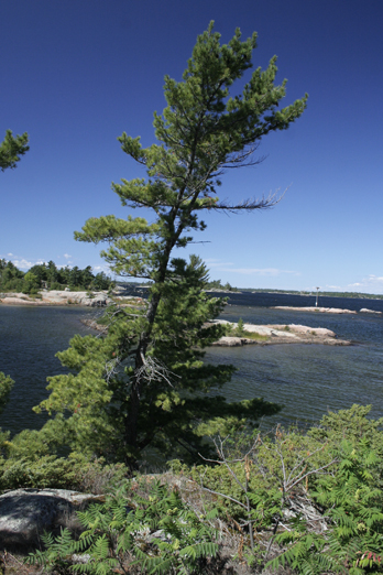
 Amazing how prevalent these pines are at the north end of Beausoleil.
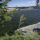 Up and coming Pine at Honeymoon Bay.
 This was such a cool tree - at least 30 feet long travelling along the rock horizontally about 15 feet above the waterline.
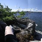 And ignore my gastly white leg, but it was the only way to try to get part of that same tree without using rope to hang off the rockface.
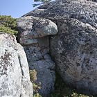 Looking back up.
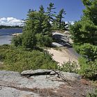 I love this part of Honeymoon Bay - a little private beach that leads to another Island.
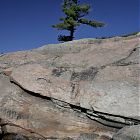 Cool Pink rock!
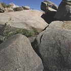 I was completely fascinated by this area that ran along the southwest shore of the Island.
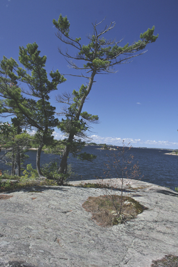
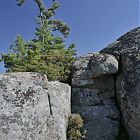 And another tall pine appearing from nowhere.
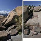 Ver cool rock formations at Honeymoon Bay - could make a very interesting diptych.
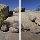 Another potential diptych of the same region.
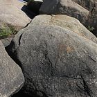 Another view.
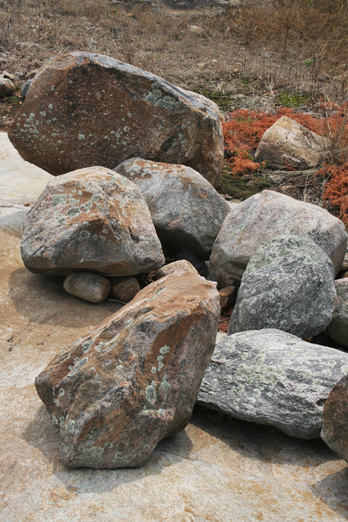
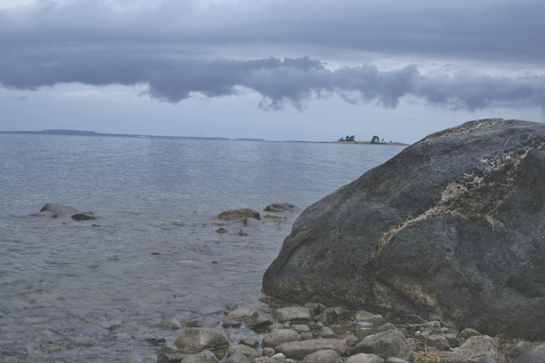
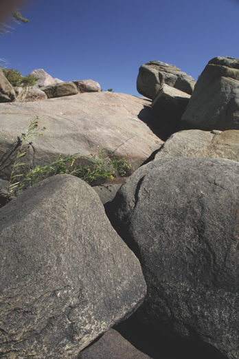
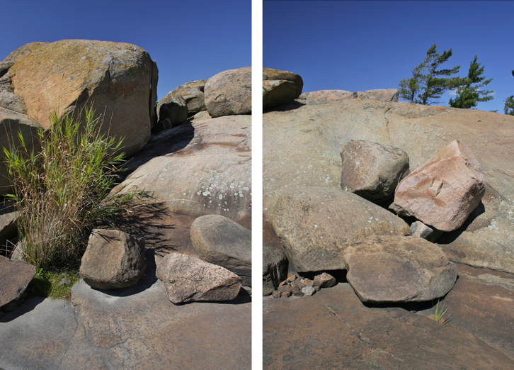
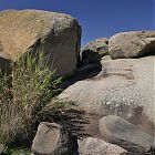 I have at least 20 shots of this area - it felt like something I would see in Arizona .. and these are huge boulders.
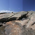 Panoramic of south side of Honeymoon Bay.
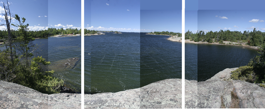
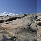 Another panoramic in the same area that could be made into a triptych.
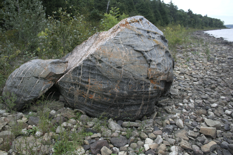
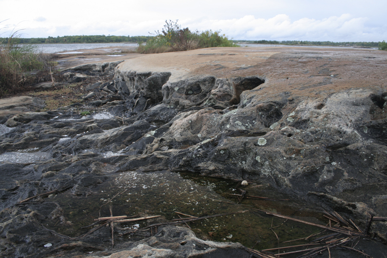
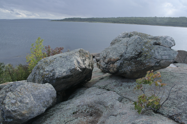
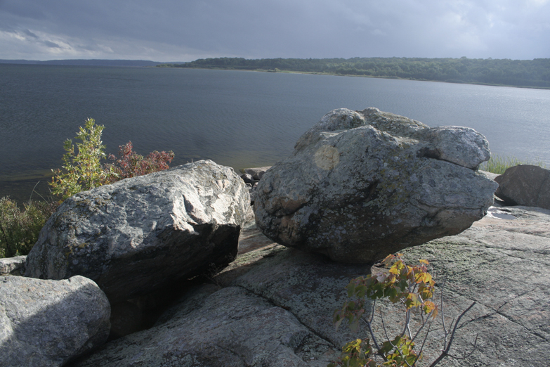
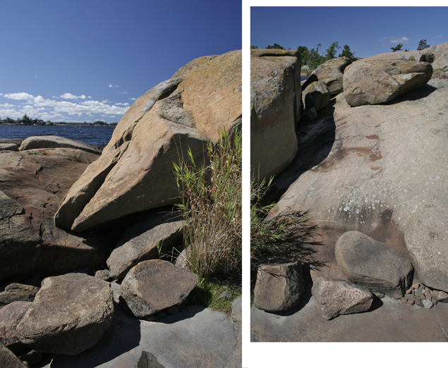
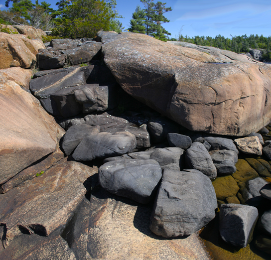
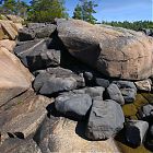 And there is the two bedrocks colliding again ... this time well over 7km from the other locations. Again, these boulders are massive.
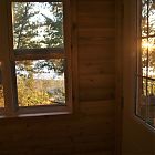 And after another 200+ photos, and 4 hours+ of hiking/cycling, I watch my last sunset. Too tired to go outside, so watched it from the porch.
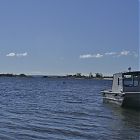 Getting ready to head back to Honey Harbour on the daytripper, mid-morning.


— Carol Currie
Comments
Comments are turned off for this article.